Description
The Eastern Gulf National Park is located in the sea off Kotka – Hamina. You can get to the inhabited islands of the area by ferry, or you can explore the area by cruise or taxi boat. The area of the national park established in 1982 consists of a rugged outer archipelago, of course there are also some forested islands such as Mustaviiri. The national park is known for its seabirds, being a stopover for arctic bird species on their way north, especially during spring migration (Arktika), and an important nesting area for island birds. The black guillemot or tystie (Cepphus grylle) nesting on the rocky shores of the outer islands is the perfect symbol of the Eastern Gulf of Finland National Park.
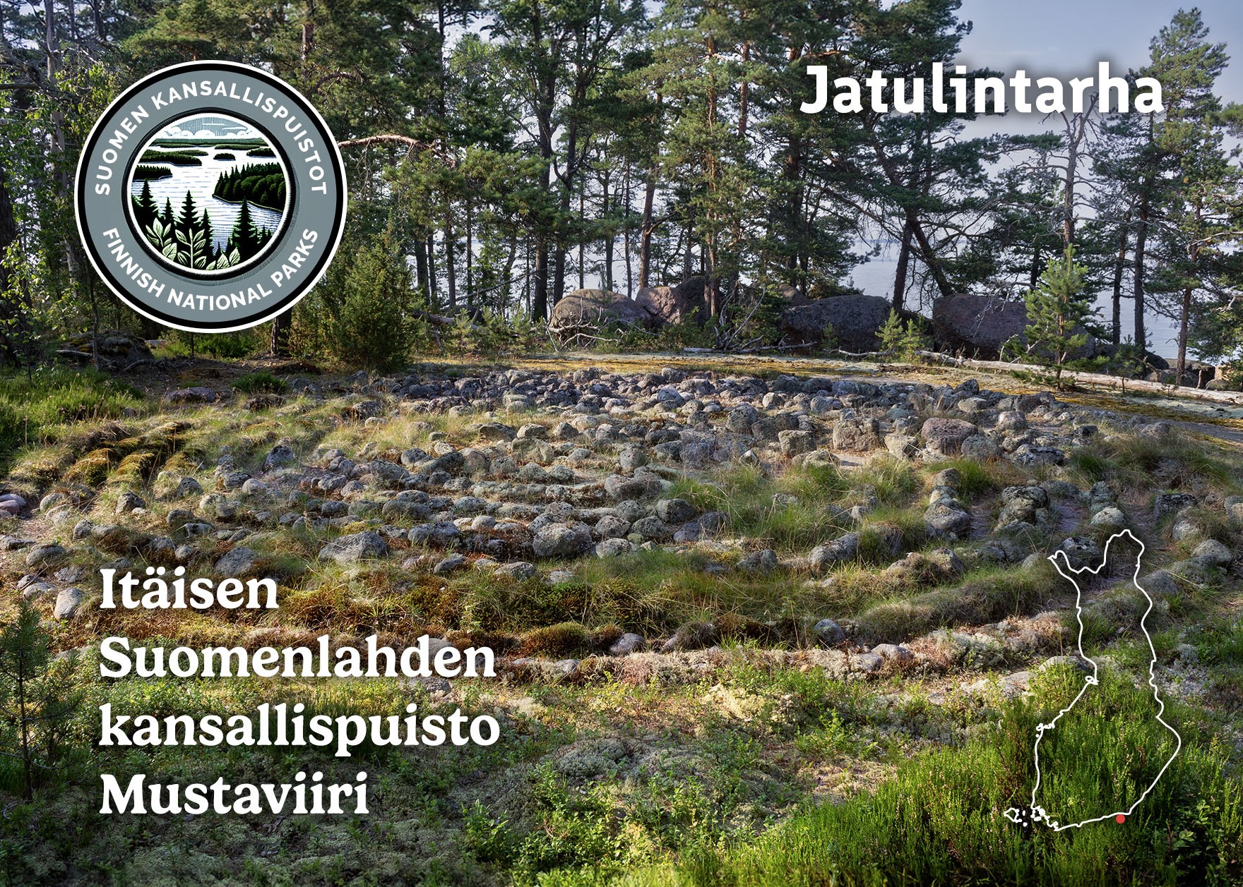
The small island of Mustaviiri has a nature trail that is just over 1.5 km long. In the center of the island is the point of the Struve Geodetic Arc, a UNESCO World Heritage Site, with an observation tower nearby, surrounded by forest. Along the nature trail, there are two Troy Towns, spiral-shaped labyrinth paths made of stones, i.e. Jatulintarha (“giant’s garden” or “giant’s corral”) in Finnish. The Jatulintarha in the postcard is a nationally significant ancient relic, and it is forbidden to damage it. These stone structures are found on the coast and in the archipelago, and their original purpose or construction period is unknown. According to tradition, walking in the labyrinth brings luck and protection.


